

9:26 PM
-
0
Comments
Fun size SW to SSW swell expected in SoCalHurricane Sergio’s appearance on satellite imagery looks pretty ragged this evening and the National Hurricane Center now has the system as a tropical storm with 60 knot sustained wind. While the track for SoCal swell production is relatively favorable (NE at 6 knots), Sergio;s decreased intensity and less than stellar structure will likely inhibit swell production.
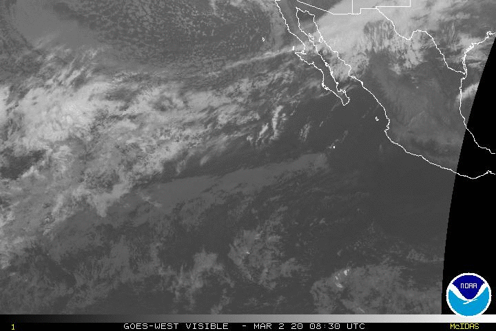
Sergio should maintain similar strength in the next day or so (and could even re-intensify a bit) as it moves over slightly warmer water. By later this week, Sergio will again move over cooler water with shear also increasing. These factors should lead to a more rapid weakening trend and Sergio should be a low end tropical storm by the end of the week as it approaches Baja. Those with interests in Central Baja should closely follow the latest National Hurricane Center forecast as heavy rains could be problematic for the region.

Sergio swell rebuilt a bit on Tuesday from the SW/SSW and we should see a modest building trend Wednesday and into Thursday. Swell model guidance has continued to trend down over the last few days and finally looks reasonable for most areas. Fun size, but not especially big, surf is expected the next couple days, with the more westerly direction (SW to SSW) allowing the swell to impact more regions/breaks than the more frequent tropical swells we see from the SSE.


No comments
Post a Comment