 According to Surfline
: Old combo of NW and SSW swells drops going into the weekend, as a fresh, shorter period NW swell takes over.
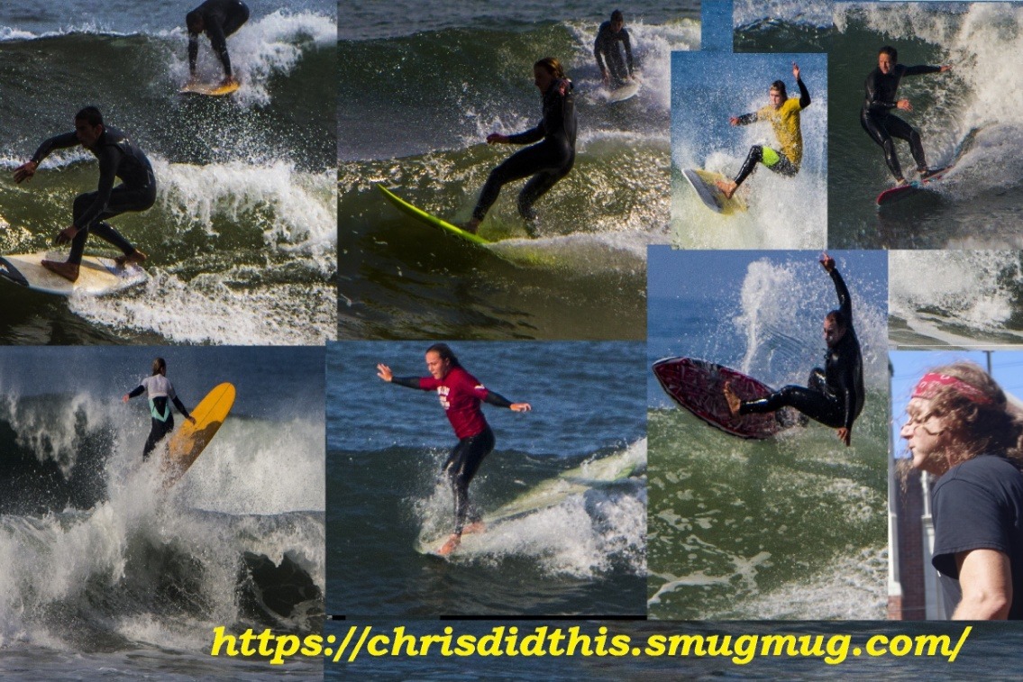
Saturday, February 27th: 2-3’+ waves off peaking NW swell, 4’+ for top spots. Light winds in the morning.
A reinforcing pulse of shorter period NW swell tops out, putting well exposed spots in waist-stomach high surf. Deep mid morning high tide (~6′) favors shorebreak sandbars, while most other spots are swampy then. Mid day tide works best for many areas, before the ocean ebbs down to a drained, -1′ mid afternoon low. Light/variable to light offshore winds much of the morning, shift to light+/locally moderate afternoon onshores for textured+ to ruffled conditions. The sea breeze looks to ease by the evening.
Sunday, February 28th: 2-3′ surf from fading NW swell. Moderate to breezy morning offshores.
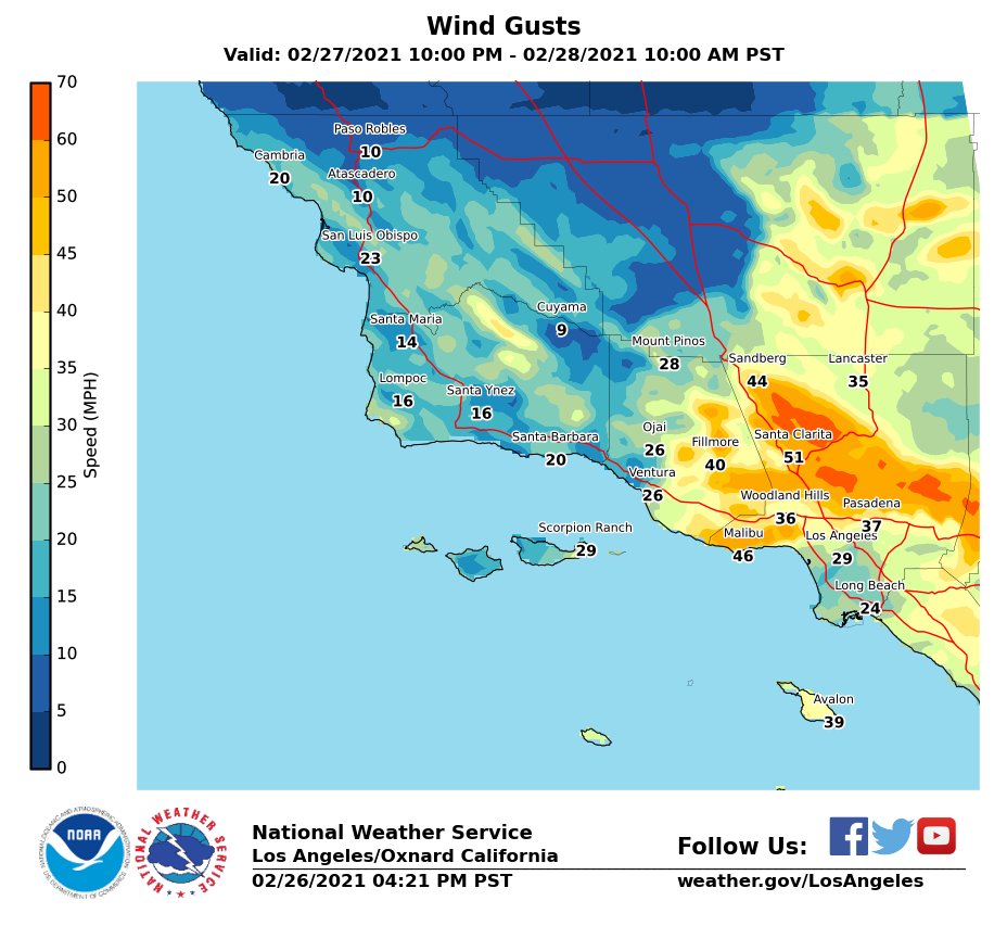
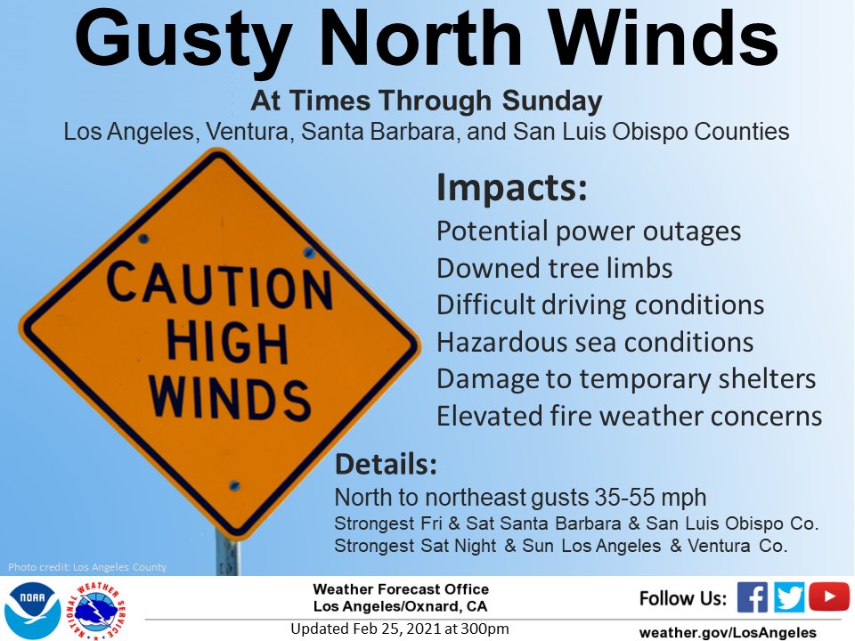
The shorter-period NW swell will be steadily winding down. Morning sees the most size. Surf gets smaller as the day goes on. Widespread ENE winds in the morning, moderate for most areas and looking stiff around northern LA, for offshore conditions. Those winds due to ease into mid day, then turn to onshores along most of the coast during the afternoon. Deep mid morning high tide swamps out lots of spots, while favoring shorebreak sandbars. Negative low tide in the later afternoon drains the smaller waves.









Social Buttons