

8:10 PM
-
0
Comments
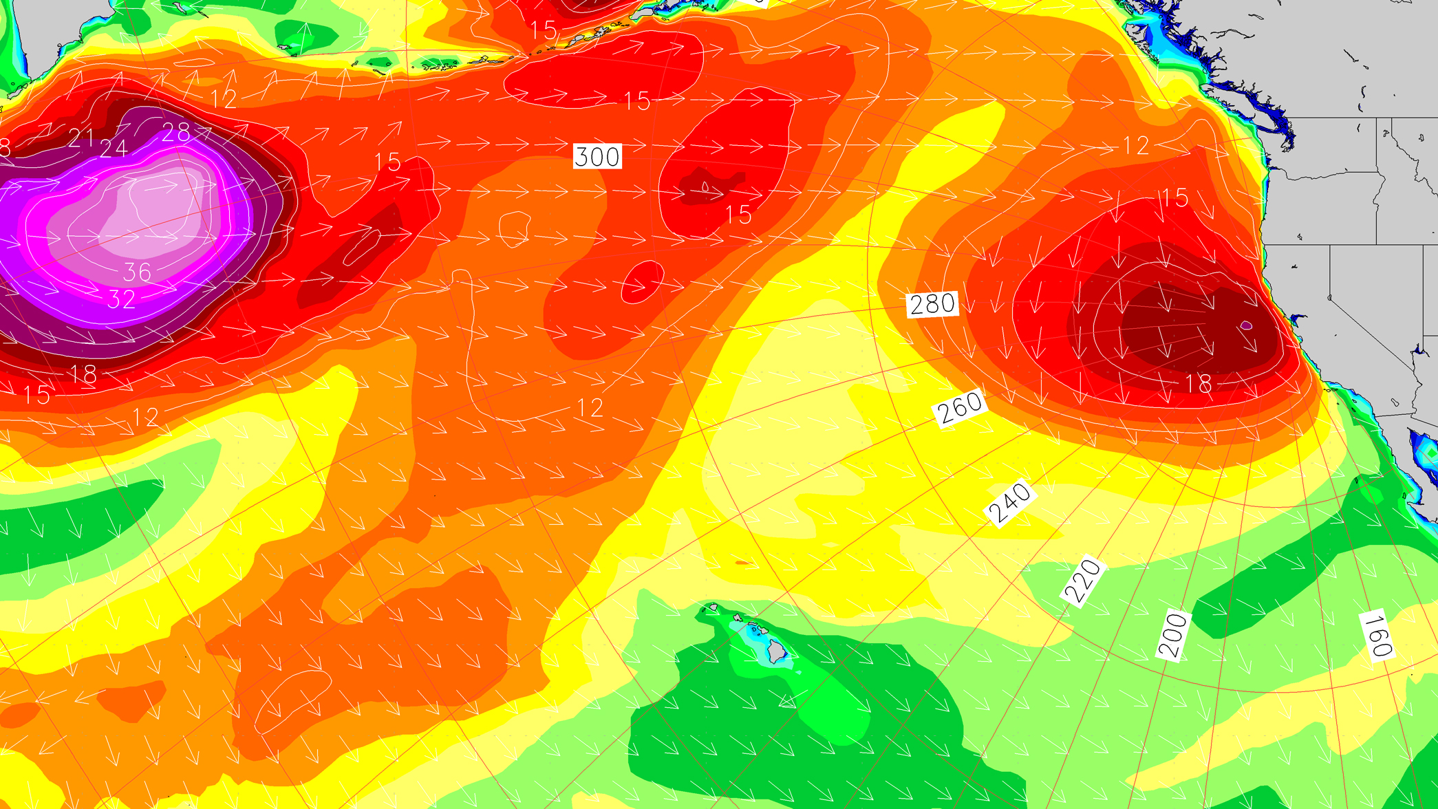
After a stormy last week, a better surf window should temporarily open up this week for parts of California. Unfortunately, not a whole lot of swell down in Southern California, yet clean morning conditions will setup plenty of options especially after the recent rains (come on, sandbars...).
WEDNESDAY: 3-4'+ sets at winter standouts. AM conditions cleanest. Tuesday's WNW-NW swell-mix decreases some, but still providing sets up to chest-shoulder high at well exposed breaks (strongest overall in Ventura and South San Diego). Likely decent shape, even the beachbreaks with a variety of periods to break it up. Light offshore wind in the AM for most areas, then just a light to moderate onshore breeze developing by the PM. Note a 5.5' high tide peaking mid-morning, which incoming tide early may be a good window for many spots. Poor water quality due to rainfall.
THURSDAY: 2-3'+ sets at winter standouts. AM conditions cleanest. The WNW-NW swell-mix eases down another click from Wednesday. Primarily inconsistent WNW sets around waist-belly maybe chest high for top exposed breaks, which will be most prominent around the best tides - Strongest overall through Ventura and South San Diego. Similar conditions to Wednesday - Light offshore wind in the AM for most areas, then just a light to moderate onshore beeze developing in the PM. 5'+ high tide mid-morning. Poor water quality due to rainfall.


No comments
Post a Comment